Driving Distances in Botswana
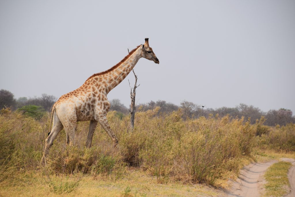
Botswana distances look manageable on a map and are not, because deep sand roughly halves whatever a map suggests and there is no fuel inside any national park. Maun to Kasane runs around 614 kilometres and close to seven hours on tar. Inside the parks, allow 20 to 25 kilometres per hour on game-viewing tracks and 30 to 40 on transfers, which is the figure that decides an itinerary.
The Rule That Governs Everything
One principle underlies every number on this page.
Botswana has good tar between the main towns and deep sand almost everywhere else. Those are two completely different kinds of driving and the same distance takes wildly different times depending which you are on.
On tar, ordinary speeds apply and a drive behaves as a map suggests.
On park tracks, allow 20 to 25 kilometres per hour if you are game viewing and 30 to 40 on a straight transfer. Deep sand in the dry season behaves like driving through dunes, and after heavy rain many tracks become impassable altogether.
The practical consequence is that a 200 kilometre transfer between two camps in Moremi is most of a day, while 200 kilometres on the A3 is two and a half hours.
Plan by hours rather than kilometres, and add a margin. Gate closing times are the hard deadline that makes this matter: arriving after a gate has shut with a booked campsite on the other side leaves you nowhere legal to sleep, since wild camping is prohibited throughout.
Twenty to twenty-five kilometres per hour on a game-viewing track is the number that shapes a Botswana self-drive itinerary. Everything else is arithmetic from there.
Main Road Distances
The tar network connects the towns and these are the reliable figures.
Maun to Kasane is roughly 614 kilometres, close to seven hours via Nata on tar. There is no fuel on the bush routes between them, which is why almost everyone takes the long way round.
Gaborone to Francistown runs roughly 400 kilometres on the A1, around four to six hours.
Francistown to Kasane is roughly 400 kilometres.
Gaborone to Maun is a full day’s drive.
Gaborone to Kasane is around 900 kilometres.
Serowe to Gaborone runs roughly 250 kilometres on tar via the A14 and the main road.
Kasane to Victoria Falls is around 80 kilometres, roughly two hours including the Kazungula border crossing, which queues badly in peak season.
Other border distances worth knowing: Francistown sits roughly 90 kilometres from the Ramokgwebana post on the route toward Bulawayo, Ngoma Bridge west of Kasane is the crossing into Namibia’s Zambezi Region and the road toward Etosha, and Mohembo in the far northwest is where the Okavango River enters Botswana and travellers cross toward the Namibian Kavango. Southern crossings from South Africa include Tlokweng and Pioneer Gate for Gaborone and Martin’s Drift on the main route from Johannesburg.
Sand Routes and Park Access
These are the numbers that need the hourly rule applied.
Maun to Moremi South Gate is a straightforward run on gravel and sand, and the reserve tracks beyond it are deep sand throughout.
Maun to Khwai takes a few hours by 4×4, through thick sand with a few water crossings, and sits just beyond Moremi’s North Gate.
Kasane to Savuti via Ngoma and Ghoha Gate runs roughly 220 kilometres, with over 40 kilometres of loose deep sand on the final stretch. Treat it as a full day rather than a transfer.
Maun to the Central Kalahari Matswere Gate is around 210 kilometres via Rakops, with hours of track beyond it.
The A3 to Kubu Island leaves near Mabole around 17 kilometres west of Nata, then runs 90 to 95 kilometres of sandy track taking about four hours.
Nxai Pan turns north off the Maun to Nata road roughly 179 kilometres west of Nata, then 35 kilometres of sand to the gate.
Piper Pan in the Central Kalahari has been reported at eight hours of sandy corrugated track from the main road near Rakops.
Tar roads. Maun to Kasane 614km and seven hours, Gaborone to Francistown 400km and four to six hours, Kasane to Victoria Falls 80km and two hours with the border.
Park tracks. Allow 20 to 25 kilometres per hour game viewing and 30 to 40 on transfers. Deep sand throughout, impassable in places after heavy rain, no fuel available anywhere inside.
By air. Maun to Kasane an hour to an hour and a half against seven by road. Inter-camp hops fifteen to thirty minutes. Kasane to Victoria Falls around twenty minutes.
Fuel
The single most important planning constraint after time.
No fuel is sold inside any national park or game reserve in Botswana. None.
There is also no fuel on the bush routes between Maun and Kasane, which is why the tar route via Nata exists as the standard option.
Fill up in Maun, Kasane, Francistown, Gaborone, Nata, Rakops, Letlhakeng or Ghanzi depending on your route, and carry jerry cans for anything remote.
Long-range tanks are standard on properly equipped hire vehicles and are worth confirming when you collect.
Deep sand consumes fuel at a substantially higher rate than tar, so calculations based on highway figures will leave you short.
In the Central Kalahari and Mabuasehube, plan fuel for the whole circuit with a reserve, since there is nothing at all between the gates.
Road Conditions and Hazards
A few things worth knowing before setting out.
The A3 west toward Nata carries a reputation for potholes on certain stretches, some severe enough to damage a wheel, and travellers arriving via Martin’s Drift report similar on parts of that route.
Livestock on the roads is a constant across rural Botswana, particularly cattle and donkeys, and they do not move.
Wildlife crosses main roads, especially at dawn and dusk, and elephant on the Kasane to Nata stretch is a genuine hazard.
Avoid driving at night outside the towns. Unlit livestock and wildlife make it the single riskiest thing a self-drive traveller can do.
Veterinary control points on the main roads involve inspections for meat and dairy products, and vehicles may be required to drive through disinfectant. Keep those items accessible.
Mobile coverage disappears inside the parks and across much of the Kalahari, so load offline mapping before departure. Tracks shown on consumer mapping apps are frequently out of date and occasionally show routes that no longer exist, which in the desert reserves can add many hours to a day with no fuel margin to absorb it.
When Flying Makes More Sense
For many itineraries the comparison decides itself.
Maun to Kasane takes an hour to an hour and a half by light aircraft against close to seven by road.
Inter-camp hops in the Delta run fifteen to thirty minutes, against transfers that would take most of a day by vehicle where a road exists at all.
Kasane to Victoria Falls is around twenty minutes in the air against two hours by road including the border.
Parts of the inner Delta and all the private concessions in Linyanti, Selinda and Kwando cannot be driven to, so flying is the only option rather than the faster one.
Charter legs cost roughly 250 to 500 US dollars per person where not bundled into camp rates, and luggage is capped at around 20kg per person in a soft bag. A common compromise is to self-drive the accessible parks and fly in for two or three Delta nights, leaving the vehicle in secure storage in Maun.
Work out your day in hours, then add a third. Botswana distances defeat people who plan by kilometres, and arriving at a gate after closing with no fuel and a booked campsite on the other side is a genuinely bad afternoon.
Frequently Asked Questions About Driving Distances in Botswana
How far is Maun from Kasane?
Around 614 kilometres, taking close to seven hours on the tar route via Nata. There is no fuel on the bush routes between them, which is why almost everyone takes the long way round. By light aircraft the same trip takes an hour to an hour and a half depending on stops, which is the main reason Botswana safaris are flown rather than driven between regions.
How long does it take to drive in Botswana’s parks?
Allow 20 to 25 kilometres per hour on game-viewing tracks and 30 to 40 on straight transfers. Park tracks are deep sand throughout and behave like driving through dunes in the dry season, with many becoming impassable after heavy rain. That means a 200 kilometre transfer between two camps in Moremi is most of a day, while 200 kilometres on the A3 is around two and a half hours.
Is there fuel inside Botswana’s national parks?
No, none at all, in any park or game reserve. There is also no fuel on the bush routes between Maun and Kasane. Fill up in Maun, Kasane, Francistown, Gaborone, Nata, Rakops, Letlhakeng or Ghanzi depending on your route, and carry jerry cans for anything remote. Deep sand consumes fuel at a substantially higher rate than tar, so calculations based on highway figures will leave you short.
How long is the drive from Kasane to Savuti?
Roughly 220 kilometres via Ngoma and the Ghoha Gate, with over 40 kilometres of loose deep sand on the final stretch, which needs dropped tyre pressures and low range. Treat it as a full day rather than a transfer. Most visitors fly instead, taking twenty to forty minutes from Kasane or Maun, and self-drivers attempting the sand route should have genuine deep sand experience.
Can you drive at night in Botswana?
You should not outside the towns, and it is prohibited inside the national parks, where all vehicles must be off the roads by gate closing. On main roads at night the hazards are unlit livestock, particularly cattle and donkeys which do not move, and wildlife crossing, with elephant on the Kasane to Nata stretch a genuine risk. It is the single riskiest thing a self-drive traveller can do here.
How far is Kasane from Victoria Falls?
Around 80 kilometres, taking roughly two hours by road including the Kazungula border crossing into Zimbabwe, which queues badly in peak season. A scheduled light aircraft covers the same route in about twenty minutes. Livingstone in Zambia is reached separately across the Kazungula Bridge, which replaced the old ferry and operates as a one-stop border post.
Booking Your Botswana Trip
The safari companies and tour operators listed on this website put trips like this together for a living and know which camps, guides and routes actually deliver. We are an independent guide to Botswana; we do not book or sell tours ourselves.
When you are ready, arrange your safari, tour or holiday with one of the recognised operators listed here. Tell them your dates and what matters most, and a real person, not a form, will handle the itinerary, park bookings and logistics for you.