Category: Natural Attractions

Tsodilo Hills

Tsodilo is a group of four quartzite hills rising abruptly from the flat Kalahari in northwestern Botswana, holding more than 4,500 rock paintings across roughly ten square kilometres, which is among the highest concentrations found anywhere in the world. It…
Read more
Gcwihaba Caves

Gcwihaba is a labyrinth of dolomite caverns beneath a hill in northwestern Botswana, filled with stalactites and stalagmites up to several metres long and home to thousands of bats. The name means hyena's hole in !Kung, and the main chamber…
Read more

Kgale Hill

Kgale Hill rises to 1,287 metres on the southwestern edge of Gaborone and is the highest point in the city, known locally as the Sleeping Giant for the reclining shape it makes on the skyline. The climb takes most people…
Read more

Kubu Island

Kubu Island, known locally as Lekhubu, is a granite outcrop roughly a kilometre long rising about ten metres from the southwestern edge of Sua Pan in Botswana's Makgadikgadi. It is covered in ancient baobabs, ringed by fossilised beaches of wave-rounded…
Read more

Lepokole Hills

The Lepokole Hills rise near Bobonong in eastern Botswana, built from colossal granite blocks piled one on another, and they are the southernmost extension of Zimbabwe's Matobo Hills. They hold San rock paintings, Stone Age tools, Iron Age settlement remains…
Read more

Makgadikgadi Salt Pans

The Makgadikgadi is a complex of salt pans covering over 16,000 square kilometres in northeastern Botswana, the dried bed of an inland sea that once held more water than any lake in Africa. Sua and Ntwetwe are the two largest,…
Read more

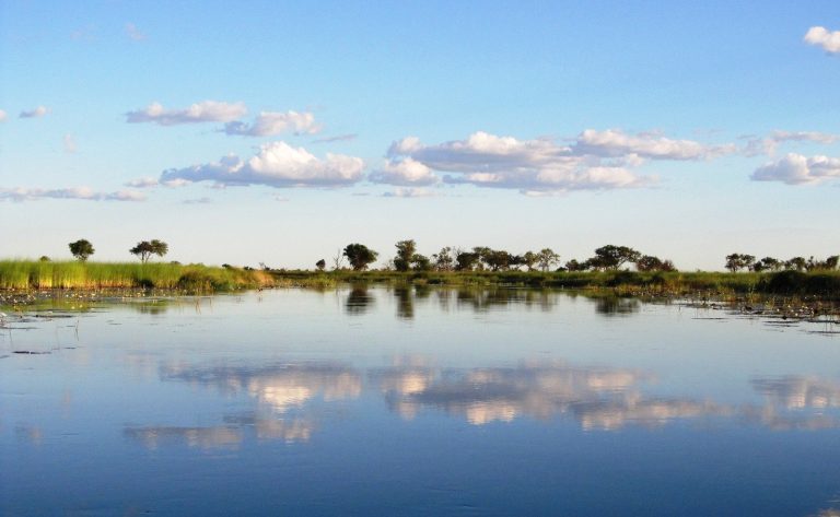
Okavango River

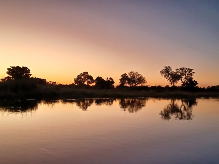
The Okavango runs roughly 1,600 kilometres from the highlands of central Angola to northern Botswana, where it fans out into the Kalahari and disappears without ever reaching the sea. It carries about 475 cubic metres of water per second on…
Read more

Boteti River

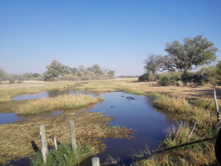
The Boteti is the last outflow of the Okavango Delta, carrying water southeast toward the Makgadikgadi and forming the western boundary of Makgadikgadi Pans National Park. It goes dry for years at a stretch and then returns, and when it…
Read more

Botswana Safari Map

Botswana covers around 581,000 square kilometres with roughly 38 percent set aside for wildlife, and the country divides into three practical zones for a safari: the wet north, the desert centre and south, and the settled east. Almost everything a…
Read more

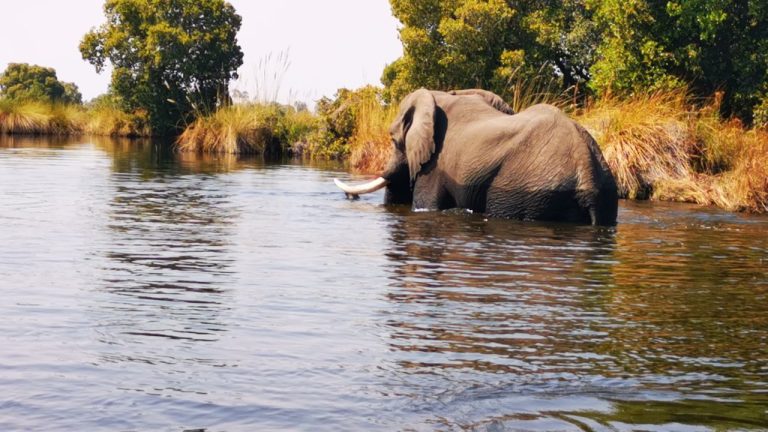
Chobe River

The Chobe River forms Botswana's northern border with Namibia's Zambezi Region before joining the Zambezi near Kasane, and it is the only reliable water for a very long way in any direction, which is why the largest elephant concentrations in…
Read more