Okavango River
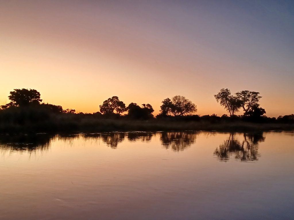
The Okavango runs roughly 1,600 kilometres from the highlands of central Angola to northern Botswana, where it fans out into the Kalahari and disappears without ever reaching the sea. It carries about 475 cubic metres of water per second on average and drains a basin of around 530,000 square kilometres across three countries. In Botswana it accounts for the overwhelming majority of the country’s fresh surface water.
Where the Okavango Rises
The river’s headwaters sit a very long way from the country most associated with it.
It begins in the central highlands of Angola at an elevation somewhere around 1,300 to 1,780 metres depending on which source point is counted, where it is known as the Cubango. From the Bié Plateau it flows southeast, gathering tributaries including the Cutato, Cuchi and Cuetei.
Its largest tributary is the Cuito, which runs roughly parallel before joining near Dirico on the Angola and Namibia border. That confluence forms the Okavango proper.
The two headwater rivers behave differently, and this matters. The Cubango drains harder ground and responds quickly to rain, while the Cuito flows through peatlands that release water slowly, which steadies the flood downstream.
In Namibia the river is called the Kavango, running southeast through the Kavango regions past Rundu and over cascades including Popa Falls before crossing into Botswana at Mohembo.
Ninety-five percent of Botswana’s fresh surface water arrives in one river that starts in another country and never reaches the sea.
The Panhandle
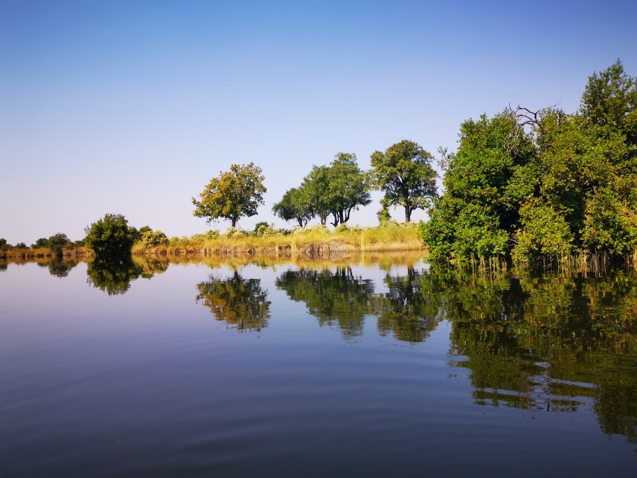
The river’s entry into Botswana is unusually neat, and the reason is geological.
After Mohembo the Okavango is confined between parallel fault lines into a corridor commonly described as around 15 kilometres wide and somewhere between 80 and 100 kilometres long, running southeast. This is the Panhandle.
Here the river is still a river: deep, permanent, flanked by papyrus and reed beds, with defined banks rather than a spreading fan. Villages line it, and this is the most densely settled part of the whole Okavango system in Botswana.
Shakawe is the main town, and the Panhandle is known for fishing rather than big game. Tiger fish and bream are the draw, with catch-and-release fishing operating from several lodges.
Birding here is exceptional, with Pel’s fishing owl among the species the area is known for.
At the end of the Panhandle the river meets the Gomare Fault, the confinement ends and the water spreads across the flat Kalahari into the alluvial fan that forms the Delta.
The Flood and Where the Water Goes

What happens to Okavango water is the fact that sets the river apart.
Rain falls over the Angolan highlands between roughly October and March. That water takes around four months to travel downstream, reaching the Delta between June and August, which is the middle of Botswana’s dry season.
Once through the Panhandle it takes a further period to filter through the plants and channels of the final stretch, which is why peak flood arrives so late relative to the rain that caused it.
The water never finds an ocean. Roughly 60 percent is lost to evaporation and around 36 percent to transpiration by plants, with a small remainder seeping into groundwater. A little drains south into the Boteti toward the Makgadikgadi and occasionally east down the Selinda Spillway.
The river carries over 25 million kilograms of suspended sediment into the Delta annually, which is part of how the island systems build.
Flow varies considerably, from a minimum around 350 cubic metres per second to a maximum near 1,000.
Life Along the River
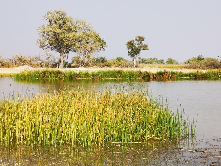
The Okavango supports people as directly as it supports wildlife, and the Panhandle is where that is most visible.
Communities including the HaMbukushu and BaYei live along the river, fishing, farming the flood-enriched banks and using reeds and papyrus for building and craft. The BaYei are credited with bringing the mokoro into the Delta.
Nearly all settlements in Namibia’s Kavango region sit near the water for the same reason.
Fish are central. Bream and tiger fish feed both people and wildlife, and the fishery is a genuine part of the local economy rather than only a tourist activity.
Basket weaving in the Etsha villages of the Panhandle area is among the finest craftwork in southern Africa, drawing on palm and dye plants from the river margins.
Angola, as the Cubango. Headwaters on the Bié Plateau, joined by the Cuito to form the Okavango. The catchment that determines everything downstream, and the least visited part of the system.
Namibia, as the Kavango. Southeast past Rundu and over Popa Falls, forming part of the Angola border. Settlements cluster along the water through otherwise arid country.
Botswana, as the Okavango. Confined through the Panhandle from Mohembo, then spreading past the Gomare Fault into the Delta. Fishing and birding above the fault, big game below it.
Water Politics on the Okavango
Because the river crosses three countries and is fully used by none of them, its future is a diplomatic question rather than a Botswanan one.
A permanent commission exists between Angola, Namibia and Botswana to manage the basin jointly, which is unusual and has held up well.
Namibia has built a water canal running some hundreds of kilometres and has proposed a pipeline to divert water from the river inland to relieve drought. Namibia’s position is that it would take only a fraction of a percent of the flow and that it is entitled to water passing through its territory.
Botswana’s position is that the Delta already loses the overwhelming majority of its water to evaporation and transpiration, leaving no margin, and that the Delta is both an ecosystem of global importance and the country’s main tourism asset.
Angola holds the headwaters and has historically developed them very little, largely because of its long civil war. As political stability continues, economic development in the catchment becomes more likely, and that is the factor most likely to change the Delta.
Oil and gas exploration licences in the wider catchment have drawn international concern.
If the Panhandle appeals, treat it as a separate destination rather than an extension of a Delta safari. It is a fishing and birding river with villages along it, not a big game area, and the trip has a different character entirely.
Visiting the Okavango River
Most visitors meet the Okavango as the Delta rather than as a river, and the two experiences are different.
The Panhandle is reached by road from Maun, running northwest toward Shakawe, a drive of several hours on tar for most of the way. Lodges along the river cater to anglers and birders, and boat trips run on the main channel.
This is also the route toward Tsodilo Hills and the Namibian border, so the Panhandle fits naturally into an overland circuit through northwestern Botswana.
Below the Gomare Fault the river becomes the Delta and access is by light aircraft to camp airstrips from Maun.
Fishing on the Panhandle peaks around September when tiger fish are most active, while the barbel run in the same period is a notable event drawing birds in numbers.
Mokoro trips run in the Delta rather than the Panhandle proper, where the water is deeper and the current stronger.
Two things worth adding for anyone driving the Panhandle road. The villages along it, Etsha among them, are where much of Botswana’s best basketwork is made, and buying directly rather than through a curio shop puts the money where it belongs. And this is the route to Tsodilo Hills, which sits around 40 kilometres off the road near Shakawe, so the two combine into a single northwestern trip without much extra driving.
Frequently Asked Questions About the Okavango River
How long is the Okavango River?
Around 1,600 kilometres, with some sources giving 1,700, running from the central highlands of Angola to northern Botswana. It is among the longest river systems in southern Africa. The basin it drains covers roughly 530,000 square kilometres across Angola, Namibia and Botswana, and it discharges an average of about 475 cubic metres of water per second, ranging from around 350 at minimum to near 1,000 at maximum flow.
Where does the Okavango River start?
In the central highlands of Angola on the Bié Plateau, where it is known as the Cubango. It flows southeast gathering tributaries before being joined by the Cuito, its largest, near Dirico on the Angola and Namibia border, which forms the Okavango proper. It is then called the Kavango through Namibia, passing Rundu and Popa Falls, before crossing into Botswana at Mohembo.
Why doesn’t the Okavango River reach the sea?
Because the Kalahari absorbs it. After passing the Gomare Fault the river spreads across almost flat sand into an alluvial fan, and roughly 60 percent of the water is lost to evaporation with around 36 percent transpired by plants, leaving only a small remainder to seep into groundwater. A little drains south toward the Makgadikgadi via the Boteti. It is one of very few rivers in the world that reaches neither an ocean nor a lake.
What is the Okavango Panhandle?
The stretch where the river enters Botswana at Mohembo and is confined between parallel fault lines into a corridor around 15 kilometres wide and 80 to 100 kilometres long. Here the Okavango is still a proper river, deep and permanent with defined banks, flanked by papyrus. It is the most settled part of the system, known for fishing and birding rather than big game, with Shakawe as the main town. At its end the Gomare Fault releases the water into the Delta.
Can you fish on the Okavango River?
Yes, and the Panhandle is the main destination for it in Botswana. Tiger fish and bream are the target species, with several lodges along the river running catch-and-release fishing. September is usually the peak, when tiger fish are most active and the barbel run draws birds in large numbers. Fishing is also part of the local economy rather than only a tourist activity, feeding communities along the river.
Is the Okavango River under threat?
Its risks sit largely upstream of Botswana. Namibia has built a water canal and proposed a pipeline to divert flow inland, arguing it would take only a fraction of a percent and that it is entitled to water crossing its territory, while Botswana argues the Delta already loses the overwhelming majority of its water to evaporation and has no margin. Angola holds the headwaters and has developed them little to date. A permanent three-country commission manages the basin jointly.
Booking Your Botswana Trip
The safari companies and tour operators listed on this website put trips like this together for a living and know which camps, guides and routes actually deliver. We are an independent guide to Botswana; we do not book or sell tours ourselves.
When you are ready, arrange your safari, tour or holiday with one of the recognised operators listed here. Tell them your dates and what matters most, and a real person, not a form, will handle the itinerary, park bookings and logistics for you.